
Get Your Projects Done More Quickly and Unlock New Value for Ground-Mount PV
Sierra Overhead Analytics provides full construction and permitting plan sets for small (<1 MW) to large (>120 MW) ground photovoltaic projects.
SOA’s survey, water resources, and engineering capabilities make rapid mapping, analysis and design solutions possible for large projects and community solar portfolios. Our team has successfully managed the design of more than 1 GW of solar PV ground-mount facilties since 2015, and provided advisory services on more than 2GW more. We take pride in our ability to help our partners across the nation tackle the unique challenges of large-scale deployments of clean power facilities.
To learn more, view our unique process, relevant case studies, and get in touch with us below.
SOA’s Ground-Mount Solar PV Process
+ Geospatial and 1-D Hydrologic Analysis
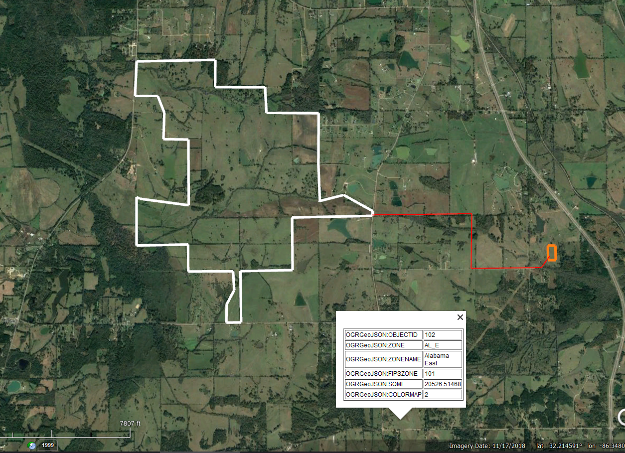
Accurately determining the extents and severity of flooding and erosion during storm events is crucial for the development of large ground-mount photovoltaic installations.
For early project stages, SOA determines hydrologic site constraints at a basic level using publicly-available data such as the NED, allowing the client to perform a preliminary layout / capacity analysis. This level of hydrologic analysis outlines the rough 100-year flood plain, and determines basic site stormwater changes due to construction activities (to be used in retention basin sizing).
SOA can then complete a detailed topographic survey of the site. We use ground-based RTK readings along with aerial data from photogrammetry or LIDAR to map sites very quickly and at high accuracy. Our clients will often also engage us at this point for an ALTA boundary survey, which we will manage through our network of Professional Land Surveyors.
+ 2-D Hydrologic and Hydraulic Analysis
Once detailed topographic survey data is acquired, we can perform a detailed existing conditions hydrologic analysis. This involves simulating what happens to the site during the 100-year storm, which is the largest storm statistically likely to occur over the site area.
Often referred to as a “2D” analysis, this provides a more granular picture of what will happen on site during storm conditions. The depth and velocity of flows at any point on the site are depicted, allowing for safe placing of site infrastructure and identification of areas where scour is likely to occur.
+ Engineering Design
SOA staff independently engineer or work with your chosen subcontractors to develop your project through all stages of design and permitting to final completion.
Our process focuses on proper modeling and simulation of the site in order to ensure power generation and asset protection even under the most adverse conditions. We supply in-house expertise and cooperate with a network of subcontractors to provide all engineering disciplines necessary for your PV facility.
+ Permitting and Construction Staking
SOA completes permits and reports that will satisfy the AHJ and state or federal agencies handling your project.
Our team has extensive knowledge of the stormwater, grading, and setback requirements of authorities around the country, and tailors our designs to provide value-engineering that fits your chosen jurisdiction of development.
Following the approval of our 100% IFC designs, our field staff are able to lay down very accurate construction staking which marks the locations for your construction team or chosen contractor.
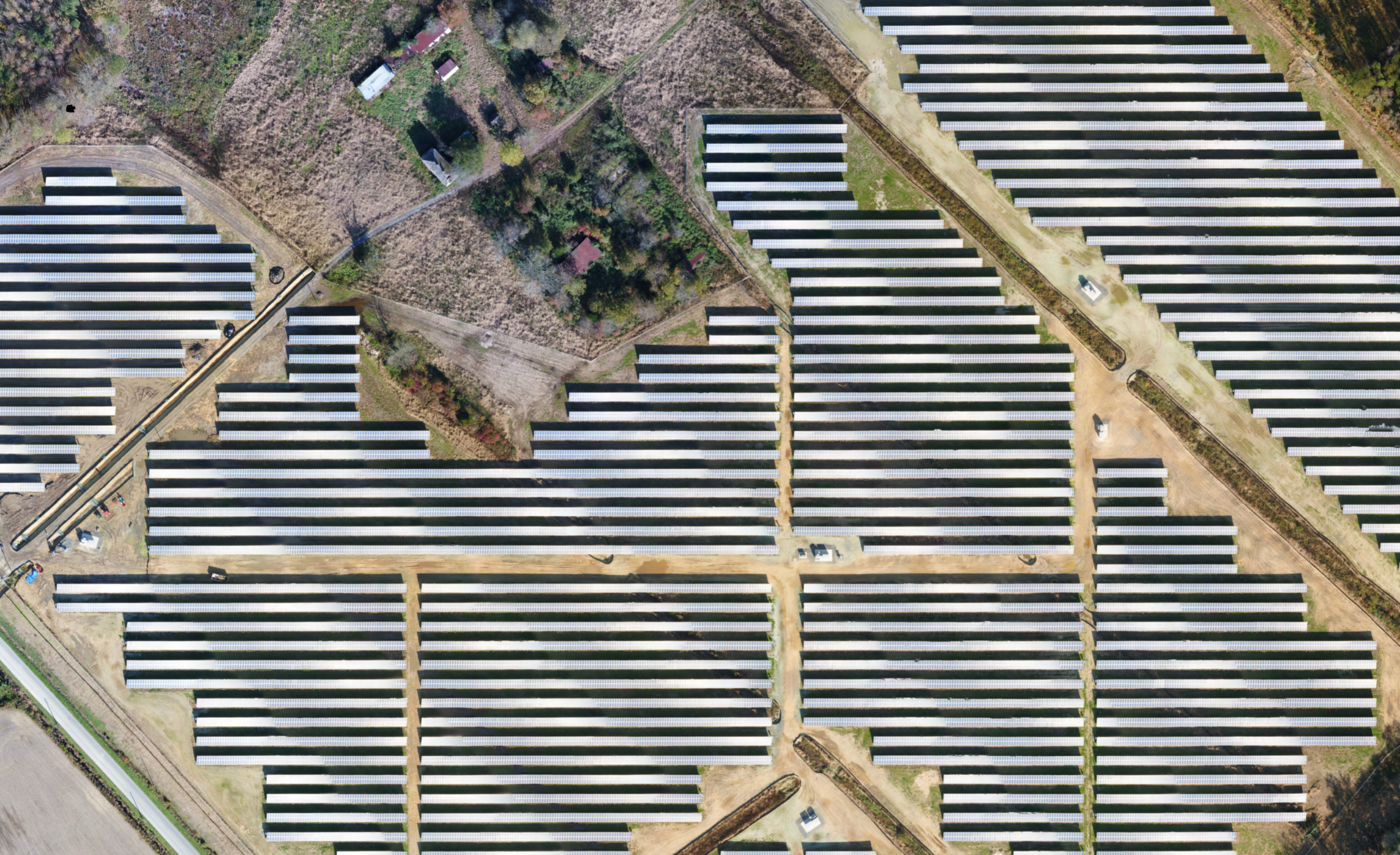
Featured Project
When a major developer needed to move forward on a large portfolio, they called SOA as the solar scaling experts. We were able to coordinate with local PLS’s and deploy our field teams to model the large scale areas planned for ground-mount solar PV. Our teams used UAS LiDAR, aerial photogrammetry, GPS-equipped quad bikes, and on-foot transects to map the terrain and features of the area. Hydrologic modeling involved very large watersheds and significant offsite flows. Hydrologic and hydraulic reporting informed client IFP permit and 30% civil design.
This project was notable for being performed simultaneous with each other. SOA fielded 4 field teams and coordinated with 2 more from subcontractors to complete topographic surveying and ALTA / boundary surveying for more than 10,000 acres in 2 months.
What Our Clients Are Saying
"SOA has provided me with timely and accurate H&H analysis on a wide range of solar projects. They are a valuable asset for both development and engineering of projects."
- Hamed Far, P.E./QSD | Cupertino Electric
Get Rapid Solar Results.
Fill out the form below to speak with an SOA consultant.